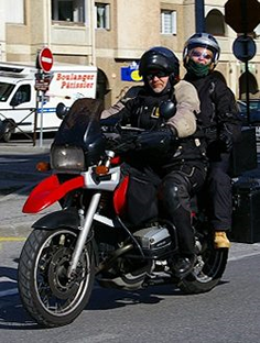
At Right To Ride a lot of what we do involves motorcycle road safety.
We have been drawn in by our involvement with government departments, through the Motorcycle Safety Forum or the Road Safety Forum or by initiatives we have set up.
However it is really because – road safety – casualty and collision reduction features that motorcycling needs, as vulnerable road users, for us to be “looked after” by whatever means.
Of course to do this you need some “evidence” that we are a problem or that we are so physiologically defective because we want to throw a leg over a bike, that we need controlled and targeted to protect ourselves from ourselves and from others.
At Right To Ride our own Dr Elaine Hardy has investigated in-depth, not just motorcyclist fatal collisions but also Pedestrian fatalities.
At the moment she is nearly through a third study of motor vehicle driver and passenger fatalities in Northern Ireland.
The aim of the study similar to the previous motorcyclist and pedestrian study is to carry out a qualitative and quantitative study by analysing the findings of vehicle occupant fatalities between the period 2011 and 2012 of the Forensic Science Road Traffic Collision Investigation Unit (FSNI) to identify the circumstances leading to the event to determine why the accident happened and to draw conclusions from each case.
You can find the completed studies on – Investigative Research Northern Ireland – www.righttoride.org.uk
Road Traffic Collisions Map
The other purpose of this post is to highlight a road casualty map from the PSNI’s (Police Service of Northern Ireland) Statistics Branch.
According to the, “Police Recorded Road Traffic Collision Statistics” document the, “PSNI statisticians have developed interactive maps that allow users to view fatal, serious and slight collisions on a Google map based mapping package and covers the calendar years 2007 – 2013.”
These maps are available via the NINIS the Northern Ireland Neighbourhood Information Service.
We have embedded the latest map from 2012 below however, “the maps have been created using HTML5, they will not be supported in Internet Explorer, and you will need the likes of Chrome or Safari to be able to view them. In addition, Excel files containing the geocodes and key collision details are available for download from the same website.”
The website address is http://www.ninis2.nisra.gov.uk/InteractiveMaps/Crime%20and%20Justice/rtc2012/atlas.html if you wish to view previous years then replace “rtc2012! with the year you wish to view eg 2007/2008/2009/2010/2011/2012.
The map gives the location and the severity of the collision type – Fatal – Serious and Slight Injury and what we can see is that there are a lot of collisions out there.
The map gives us no real conclusions that needs to be done by in-depth investigation to have a a deeper look at the stats and more importantly an understanding that doesn’t lead to knee jerk and second guess reactions and actions!
Links & Information
Police Recorded Road Traffic Collision Statistics -User feedback and comments along with response/action taken – Updated July 2014 -pdf – Click Here
PSNI – Road Traffic Collision Statistics – Click Here
Investigative Research Northern Ireland – www.righttoride.org.uk


Speak Your Mind